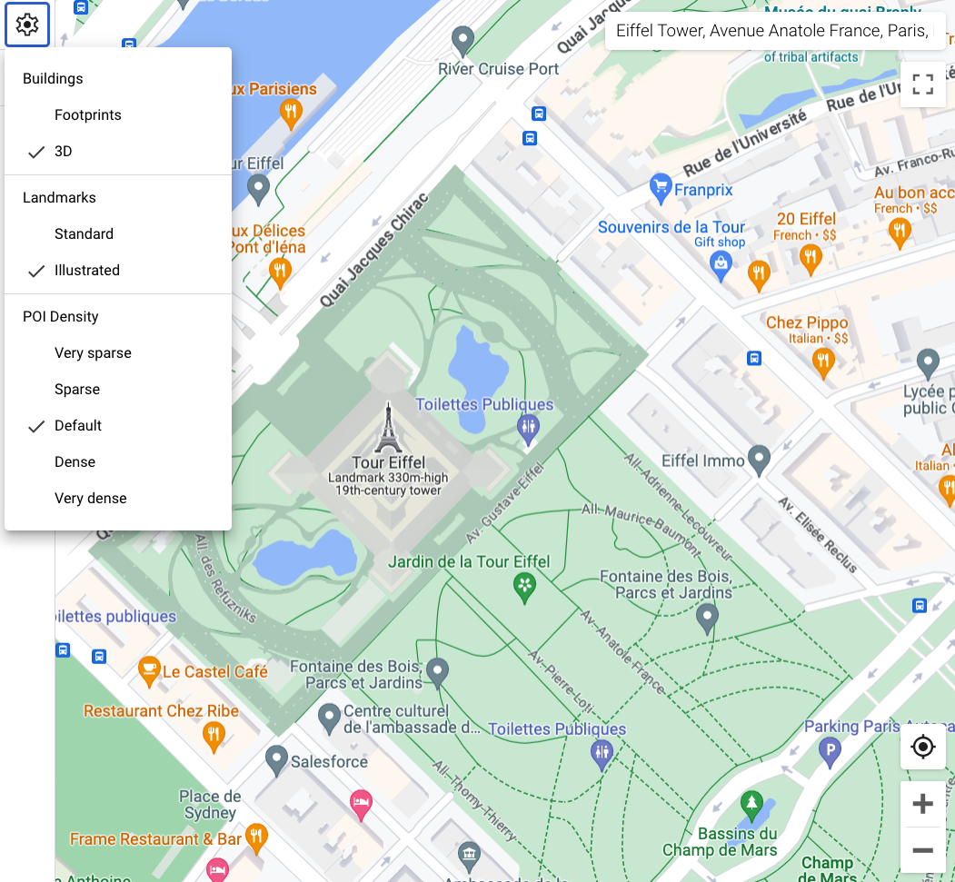
When you use a vector map in Android, iOS, or JavaScript,
buildings use the3Dstyle beginning at zoom level 17 and higher by
default. If you want to display only the 2D
outlines of buildings for a cleaner appearance, select theFootprintsstyle.
Set the building style
Zoom in on the map enough to see buildings shown.
In theMap featurespanel, select thesettingsgear icon to open theMap Settingsmenu.
To display buildings with a 3D outline, select3D:
To display buildings with a 2D footprint, selectFootprints:
[[["Easy to understand","easyToUnderstand","thumb-up"],["Solved my problem","solvedMyProblem","thumb-up"],["Other","otherUp","thumb-up"]],[["Missing the information I need","missingTheInformationINeed","thumb-down"],["Too complicated / too many steps","tooComplicatedTooManySteps","thumb-down"],["Out of date","outOfDate","thumb-down"],["Samples / code issue","samplesCodeIssue","thumb-down"],["Other","otherDown","thumb-down"]],["Last updated 2026-06-09 UTC."],[],[]]