PR
カレンダー
キーワードサーチ
コメント新着
先ほど14:00の富士五湖M4.6(30km)、
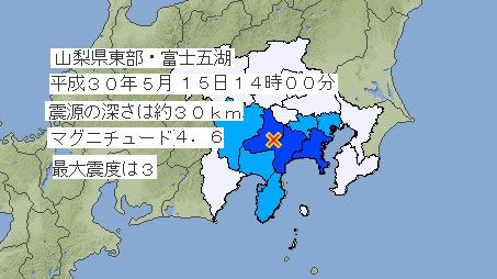 http://www.jma.go.jp/jp/quake/3/20180515050431393-15140044.html
強震記録波形が意図的に削除されている、
(14:03以前のデータがない!)

http://www.kyoshin.bosai.go.jp/kyoshin/instant/
これは操作(人工)地震です、
と言っているようなもの、
更新日 2018年05月15日 15時29分04秒
追記)
IRIS
Recent Earthquake Map
から、
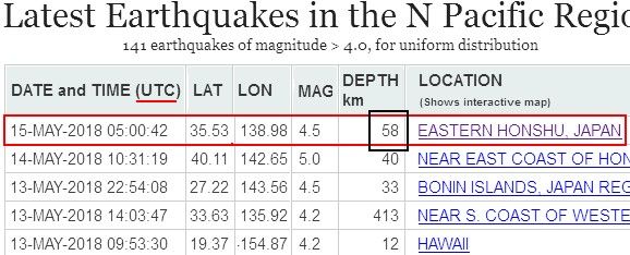
https://ds.iris.edu/seismon/eventlist/index.phtml?region=N_Pacific
震源深さが58km、
USGSもほぼ同じ、
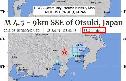 https://earthquake.usgs.gov/earthquakes/eventpage/us1000e57m#dyfi
なんで気象庁と2倍も違うの?
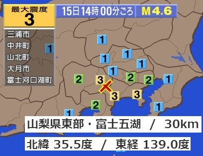 http://www3.nhk.or.jp/sokuho/jishin/index.html?id=JSA0180515140044_20180515140431
あっ、こっちは20kmだって!?
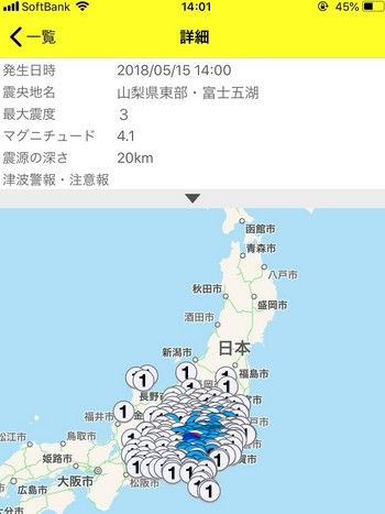
こっちも、
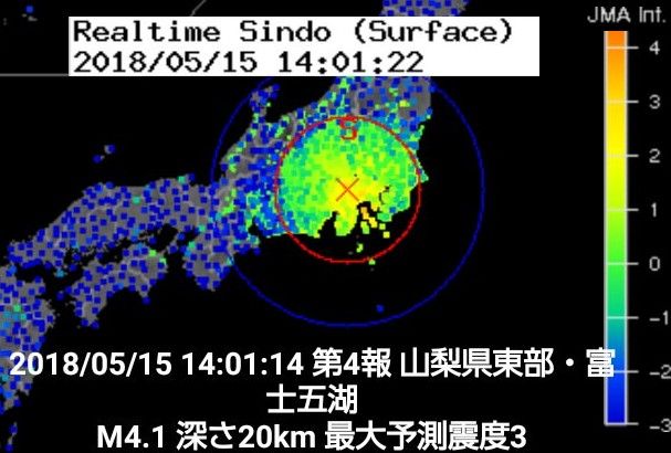
かなりいい加減じゃない?
IRISマップ見ると、

http://ds.iris.edu/ieb/index.html?format=text&nodata=404&starttime=1970-01-01&endtime=2025-01-01&minmag=0&maxmag=10&mindepth=0&maxdepth=900&orderby=time-desc&limit=200&maxlat=37.330&minlat=33.730&maxlon=140.780&minlon=137.180&sbl=1&pbl=1&caller=smevlnk&evid=10803780&name=EASTER N%20HONSHU%2C%20JAPAN&zm=7&mt=sat
震源がプレートの交点だけど、
狙っているのかしら?
-
台風ヤギが示したデジタル社会の現実 2024年09月12日
-
三峡ダムが7月期の最高水位(161.1m)を… 2024年07月15日


